Make Better Decisions
Turn Drone Data into Map insights for Industry Innovators
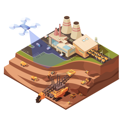
Mining & Aggregates
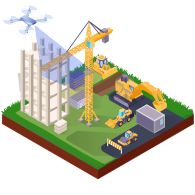
Construction
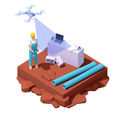
Surveying and Mapping


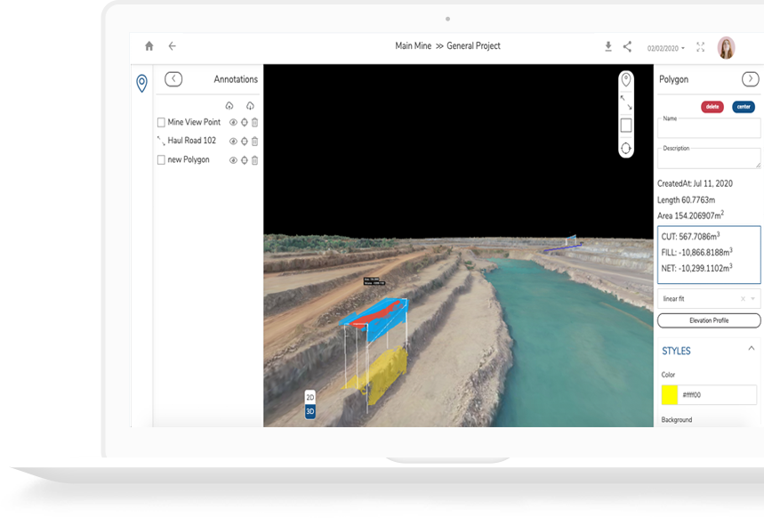
Transform Field Data
The 2D and 3D Maps developed using advanced photogrammetry empowers the work to facilitate on-site work management for better performance.
- Quick and Easy:All the stakeholders are assured with ease and quick processing on the powerful platform
- Visualize Accuracy: Use GCP and PPK to make highly accurate drone maps and visualize precise details in 3D
- Accelerate Progress:Process work fast with AI in gaining critical insights and better decision making

Minoair Platform
A powerful yet simple cloud platform for drone data processing to perform close inspection, share with confidence, communicate with security via any browser
- Image Processing Automation:Automate image processing with unique photogrammetry software
- Collaborate work: Communicate and share meaningful data across organization on cloud
- Secured:Keep the work on high security cloud and authorized access
PACE your work Follow 4 easy steps to experience difference with smart drone ecosystem
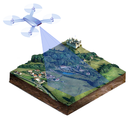
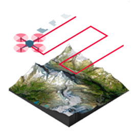
Capture
Collect on-site images using drone and upload on Minoair platform
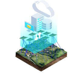
Process
Generate automatically 3D maps using advanced photogrammetry algorithms
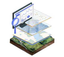
Analyze
Use 3D maps for better actionable insights to aid monitoring, progress, Visualization

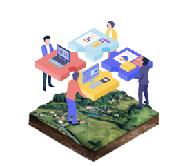
Share
Work collectively from any device, anywhere, at any phase over cloud
Integrate
Export outputs in various formats to present your deliverables for further steps
Trusted by
Delivering to the expectations of the brands, Minoair has served to its fullest every time


Minoair Edge
The integrated AI based platform to offer multiple solutions from 2D and 3D Maps to cloud collaboration
- Orthophotography
- Digital terrain modelling
- 2.5D Digital Surface Modelling
- 3D Point Clouds
- 3D Textured Models
- Slope Analysis
- HillShade Analysis
- Data Histogram
- Elevation Contours
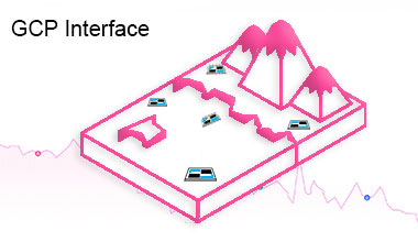
- Ground Control Point Support
- Easy to Use GCP Interface
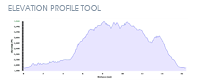
- Elevation Profile
- Distance, Hight & Angle Measurements
- Area & Volume Measurements
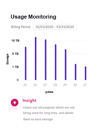
- Data Sharing & Exporting
- Data Sharing
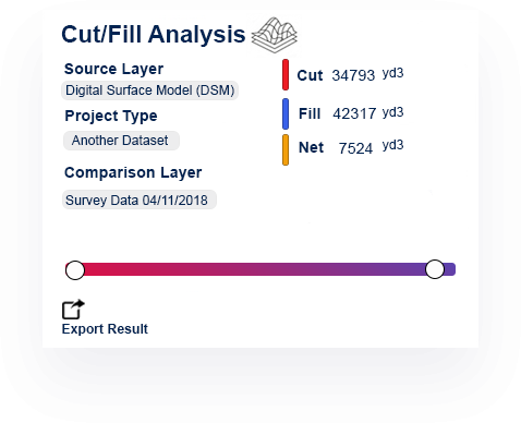
- Cut/Fill Analysis
- Overburden Measurement
- AI for Mining Industries
- Progress Monitoring(Change Detection)

Work Smarter, Gain Better
Experience new potentials of yourenterprisewith Minoair all-in-one aerial insights
Get Started for free